The Western Ghats, also known as Sahyadri is a mountain range that runs parallel to the western coast of the Indian Peninsula and is completely in India. Mountains are included in the list of UNESCO World Heritage Sites and are one of the eight "hottest hotspots" of biological diversity in the world. It is sometimes called the Great Escarpment India. The range runs north to south along the western edge of the Deccan Plateau, and separates the plateau from a narrow coastal plain, called Konkan which runs along the Arabian sea. a total of thirty-nine sites, including national parks, wildlife sanctuaries, and reserve forests have been designated as World heritage sites. Twenty in Kerala, ten in Karnataka, five in Tamil Nadu, and four in Maharashtra
The range starts near the border of Gujarat and Maharashtra, south of the Tapti river, and runs about 1,600 km (990 miles) through the states of Maharashtra, Goa, Karnataka, Kerala, and Tamil Nadu, ends in Kanyakumari, the southern tip of India. These hills cover 160,000 km2 (62,000 square miles) and form the catchment area for complex riverine drainage systems that drain almost 40% of India. The Western Ghats are blown by southwest monsoon winds that reach the Deccan Plateau. The average height of the mountain is about 1,200 meters (3,900 feet).
Ridge area is one of the world's ten "hottest biodiversity hotspots" and has more than 7402 species of flowering plants, 1,814 species of non-flowering plants, 139 species of mammals, 508 species of birds, 179 species of amphibians, 6,000 species of insects and 290 species of freshwater fish; it is likely that many undiscovered species live in the Western Ghats, at least 325 globally threatened species are found in the western reptiles...
The Western Ghats form one of the four watersheds of India, feeding the perennial rivers of India. Major river systems originating in the Western Ghats include the Godavari, Kaveri, Krishna, Thamiraparani, and Tungabhadra. Most of the streams flowing into the Western Ghats are connected to these rivers and carry with them large amounts of water during the monsoon months. These rivers flow to the east of the land gradient and merge into the Bay of Bengal. Major tributaries include Bhadra, Bhavani, Bhima, Malaprabha, Ghataprabha, Hemavathi, and Kabini. Periyar Bharathappuzha, Netravati, Sharavathi, Mandovi, and Zuari rivers flow in a westerly direction towards the Western Ghats and fall into the Arabian Sea.
Jog Falls in Karnataka, one of the most spectacular waterfalls in India
On the rivers were barriers for hydropower and irrigation to large tanks. Reservoirs are important to commercial and sport fishing rainbow trout, barb, and common carp. Built about 50 large dams along the length of the Western Ghats. The most notable of these projects are Koyna in Maharashtra, Linganmakki and Sivasamudram in Karnataka, Mettur in Tamil Nadu, and Pykara, Parambikulam, and Idukki in Kerala.
During the monsoon, numerous streams of unceasing rain runoff from the mountainside, leading to numerous waterfalls. Main include waterfalls Dudhsagar, Hogenakkal, Jog, Kunchikal, Sivasamudram, and Unchalli. Talakaveri is the source of the Cauvery River and the Sharavathi range is the source of the Tungabhadra. In Western reptiles, there are several artificial lakes and reservoirs, with the largest lake in Ooty (34 hectares (84 acres)) in the Nilgiris, Kodaikanal (26 hectares (64 acres)), and Berijam in the Palani Hills, Pookode lake, Devikulam (6 hectares (15 acres)) and Letchmi (2 hectares (4.9 acres)) in Kerala.


Хребет начинается вблизи границы Гуджарат и Махараштра, к югу от реки Тапти, и проходит около 1600 км (990 миль) через штаты Махараштра, Гоа, Карнатака, Керала и Тамилнаду, заканчивается в Каньякумари, в южной оконечности Индии. Эти холмы покрывают 160000 км2 (62000 квадратных миль) и образуют площадь водосбора для сложных приречных дренажных систем, которые истощают почти 40% Индии. Западные Гаты продуваются юго-западными муссоными ветрами которые достигают плато Декан. Средняя высота гор составляет около 1200 м (3,900 футов).
Район хребта является одним из мировых десяти "самых горячих горячих точек биоразнообразия» и имеет более чем 7402 видов цветковых растений, 1814 видов не-цветущих растений, 139 видов млекопитающих, 508 видов птиц, 179 видов амфибий, 6000 видов насекомых и 290 видов пресноводных рыб ; вполне вероятно, что многие неоткрытые виды живут в западных Гат. По крайней мере, 325 глобально исчезающих видов встречаются в западных Гадах.
Западные Гаты образуют один из четырех водоразделов Индии, кормил многолетних рек Индии. Главные речные системы, возникающие в Западных Гат включают Годавари, Кавери, Кришна, Thamiraparani и Тунгабхадра. Большинство потоков, впадающих Западные Гаты присоединяются к этим рекам и несут с собой большие объемы воды во время муссонных месяцев. Эти реки текут на восток за счет градиента земли и сливаются в Бенгальский залив. Основные притоки включают Bhadra, Бхавани, Бхиму, Malaprabha, Ghataprabha, Hemavathi и Kabini. Перияр, Бхаратапужа, Netravati, Sharavathi, Mandovi и Zuari реки текут в западном направлении в сторону Западных Гат, впадают в Аравийское море.
Герсоппа в штате Карнатака, один из самых захватывающих водопадов в Индии
На реках были заслоны для гидроэнергетических и ирригационных целей с крупными резервуарами. Резервуары имеют важное значение для коммерческого и спортивного рыболовства радужной форели, барбуса и обыкновенного карпа. Построено около 50 крупных плотин вдоль длины Западных Гат. Наиболее заметным из этих проектов являются Koyna в Махараштре, Linganmakki и Sivasamudram в штате Карнатака, Меттур и Pykara в Тамилнаду, Parambikulam и Idukki в Керале.
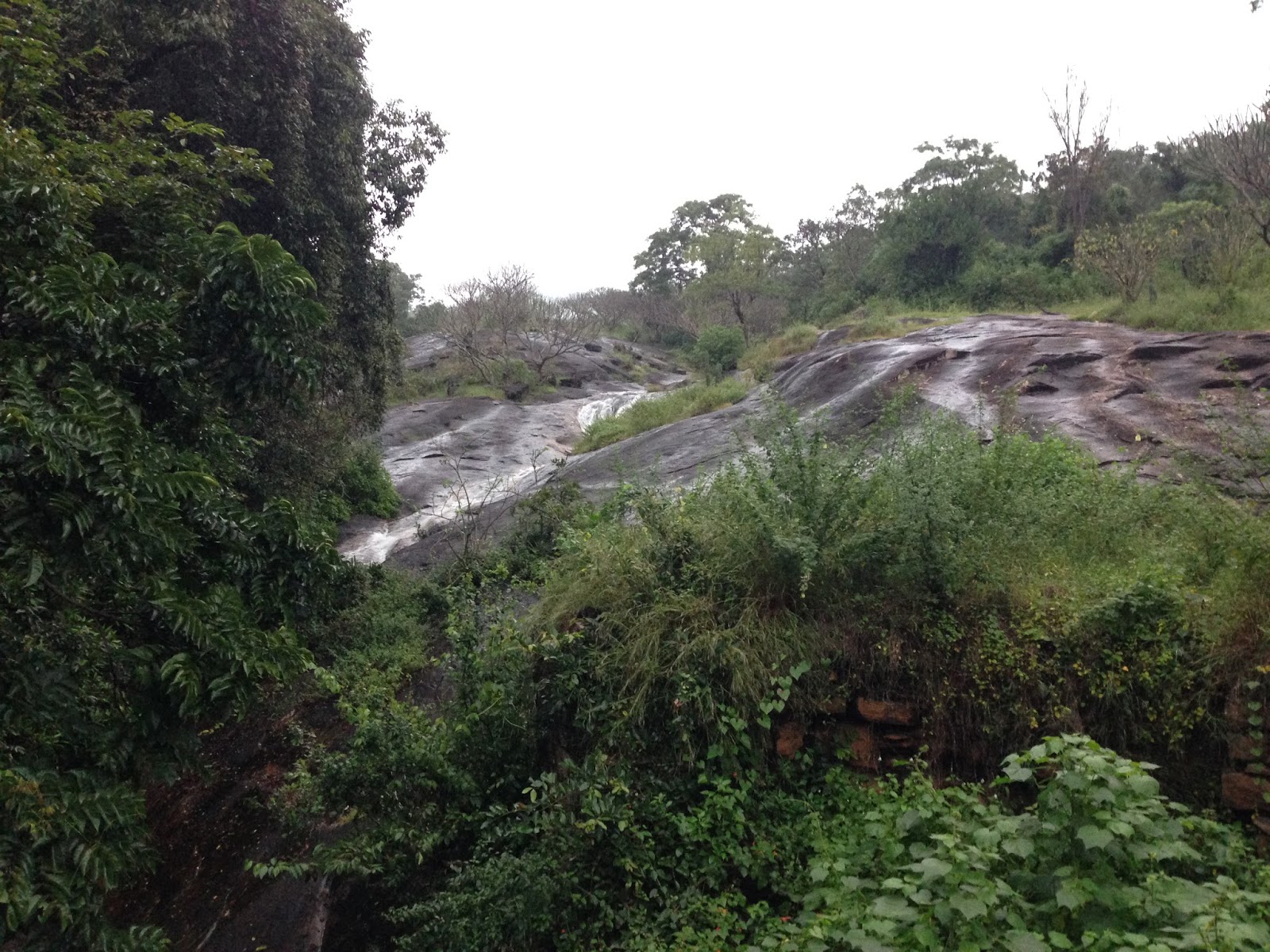
Во время сезона муссонов, многочисленные потоки непрестанным стоком дождевой с горы стороны, ведут к многочисленным водопадам. Основные водопады включают Dudhsagar, Hogenakkal, Jog, Kunchikal, Sivasamudram и Unchalli. Talakaveri является источником реки Кавери и диапазон Sharavathi является источником Тунгабхадра. В Западных Гадах есть несколько искусственных озер и водохранилищ, с крупными озерами в Ути (34 гектаров (84 акров)) в Nilgiris, Кодаиканале (26 гектаров (64 акров)) и Berijam в Палани Хиллз, Pookode озера, Devikulam (6 га (15 акров)) и Letchmi (2 га (4,9 акра)) в штате Керала.
Немає коментарів:
Дописати коментар